Sitework, earthmoving and drainage
Coordinate survey control, excavation, compacted fill and drainage through the inspections that protect concealed work.
Good sitework connects the survey, earthwork and drainage plans. Levels determine where water can go; soil conditions determine how excavation and fill are handled; the construction sequence determines which inspections must happen before the work disappears below the next layer.
Use this collection to prepare submittals, compare methods and identify the evidence needed at handover. The project survey, geotechnical report, approved drawings and applicable requirements establish the dimensions and acceptance criteria.
Establish the control before moving soil
Confirm the coordinate system, vertical datum, benchmarks and setting-out responsibilities. Protect control points from traffic and earthmoving, and define how disturbed points are re-established. Compare existing ground with the design surface before calculating cut and fill.
Record the location of utilities and the limits of the available information. Plan verification and protective measures before excavation; a line on a drawing does not establish the exact position of an underground service. Surface-water diversion should remain functional through each earthwork stage.
Excavation and temporary support
For U.S. construction, OSHA 1926.651 addresses excavation conditions including utilities, access, water accumulation and competent-person inspections. 1926.652 addresses protective systems. Select the system using the actual soil, depth, surcharge and adjacent structures, with the required design and competent review.
Dewatering can change ground conditions beyond the excavation. Coordinate groundwater control and monitoring with the geotechnical designer, especially near existing foundations or retaining structures. Keep spoil, plant and construction loads within the approved working arrangement.
Compaction: material, lift and acceptance
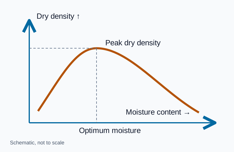
The Proctor compaction guide explains standard and modified effort, MDD, OMC and field dry-density comparison. Test results should identify the reference material and the exact lift being accepted.
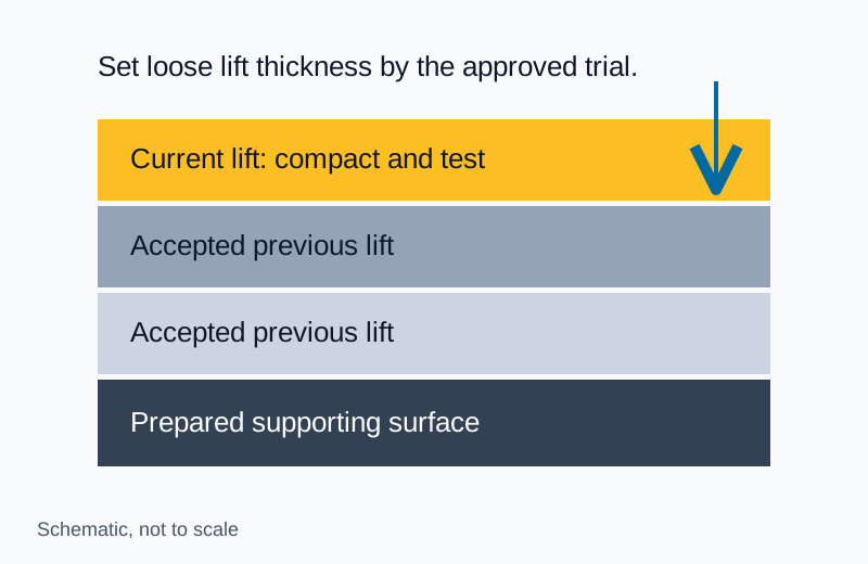
Keep fill source, moisture conditioning, lift thickness and compaction equipment consistent with the approved method. When material or support conditions change, review the method and laboratory reference. Provide test access before placing the next layer.
French drains and subsurface filters
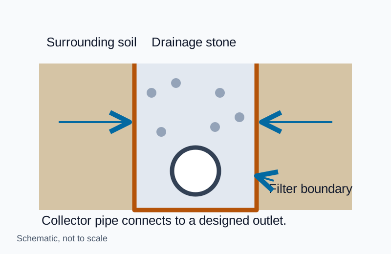
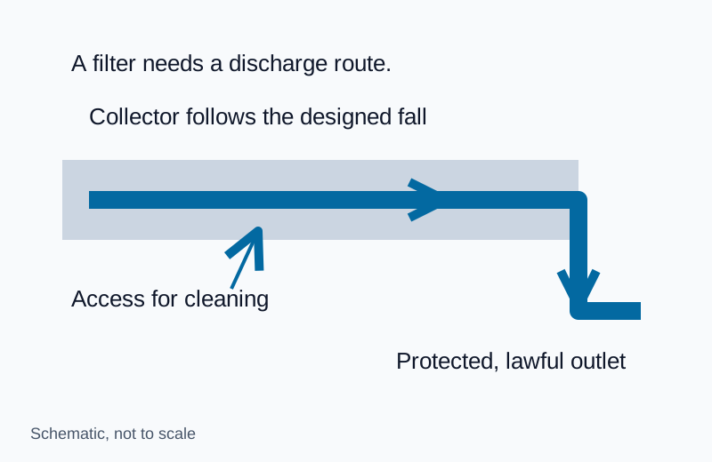
The geotextile selection guide connects fabric properties to soil retention and water flow. The filter, drainage aggregate, collector and outlet form one system. Inspect seams and transitions as carefully as the open trench length.
Request the actual product datasheet, soil compatibility basis and installation detail. Fabric mass alone cannot establish suitability. Protect the installed filter from sediment contamination and damage during aggregate placement.
Retaining walls and stormwater storage
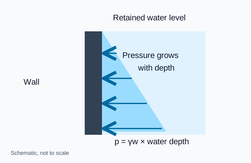
For walls, review the drainage zone, collector, weep outlets, waterproofing where required and maintenance access together. The retaining-wall guide explains hydrostatic relief and why published spacing must stay tied to its wall detail.
For stormwater detention or retention systems, establish the design inflow, storage volume, controlled discharge, overflow route and maintenance access with the drainage designer and permitting authority. Preserve the approved grades during construction. Sediment entering a storage or infiltration system before stabilization can impair its operation, so the temporary erosion-control sequence belongs in the plan.
Pre-backfill handover
Review survey levels, accepted subgrade, fill tests, drainage product identification, installed connections, outlet condition and concealed-work photographs. Assign each unresolved item to an owner and keep it open until the required acceptance is recorded.
Use smart jobsite technology when models, GNSS or survey capture support these checks. Use the field library to find the detailed guide for the next decision.