
Smart jobsite and survey technology
Choose LiDAR, drone quantity surveys, GNSS machine guidance, BIM coordination and connected monitoring around a defined construction decision.
A useful jobsite technology workflow starts with a decision: which surface to set out, which quantity to verify, which clash to resolve or which condition requires attention. Define the required accuracy, update frequency, responsible reviewer and fallback before selecting equipment or software.
This collection connects survey capture with construction coordination. The design model, field measurement and approval record should retain their identities as information moves between systems.
LiDAR: accuracy includes control and registration
A dense point cloud can still be shifted, poorly registered or incomplete. Plan the survey control, scan positions, overlap, independent checks and required deliverables. Document occluded areas and surfaces that cannot be reliably captured.
Caltrans Surveys Manual Chapter 15 provides agency guidance for terrestrial laser scanning. Its accuracy classes and verification requirements belong to the specified Caltrans survey application. Match a project’s tolerances to the required deliverable, rather than transferring one scanner’s advertised precision to an entire survey.
Ask for the coordinate reference, instrument and processing records, registration method, check results and point-cloud classification. Confirm how the receiving team will use the data: visual context, dimensional assessment and construction setting-out demand different evidence.
Drone earthwork quantities
For cut-and-fill or stockpile measurement, agree the measurement boundary, reference surface, control and checkpoints. Vegetation, standing water, inaccessible edges and changes between survey dates can alter the reconstructed surface. Keep original captures and processed surfaces traceable to the reported quantity.
FHWA’s UAS highway-construction quantity resource discusses the application of aerial data to construction quantities. The quantity review should identify how each surface was created and checked. Flight permissions, airspace and site access must be addressed for the actual location and operation.
GNSS machine guidance
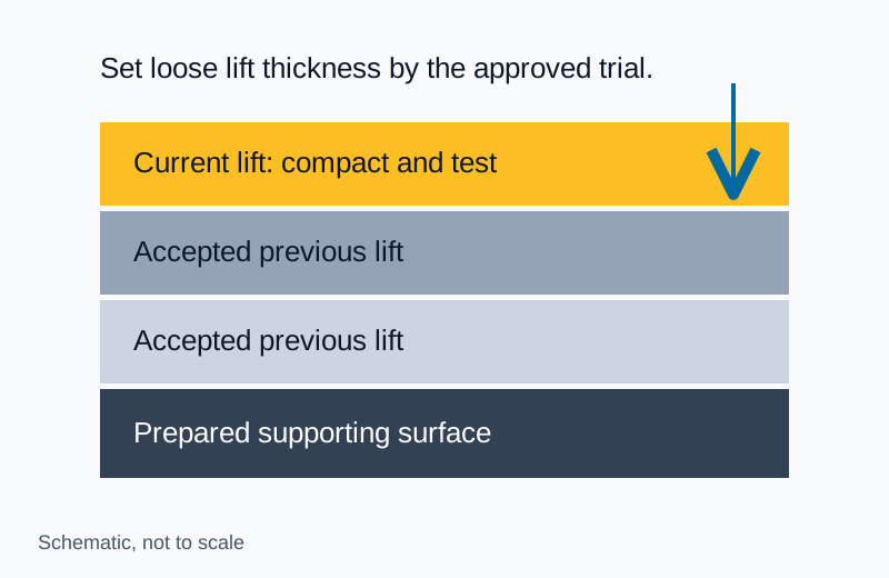
FHWA’s 3D engineered-models resource describes models supporting construction and automated machine guidance. A machine can follow the supplied model closely while constructing the wrong revision; model release control therefore belongs alongside calibration and survey checks.
Check the machine’s localisation against site control and independent measurements. Define who authorises model updates, how operators identify the active revision and what happens when positioning quality degrades. Verify the completed surface according to the project’s acceptance requirements.
BIM clash detection and MEP coordination
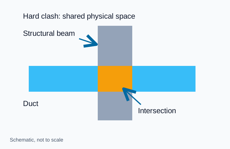
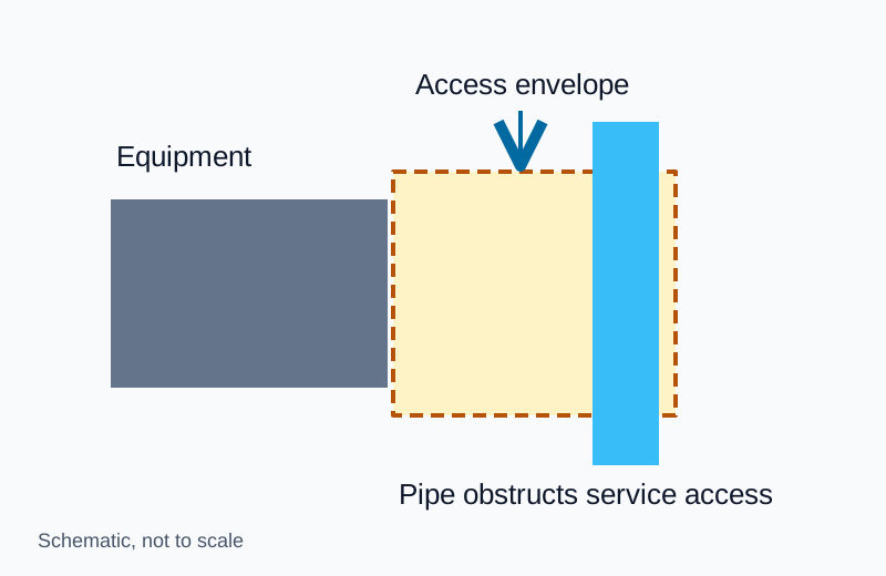
The BIM clash guide distinguishes physical intersections from clearance and sequence conflicts. Establish common coordinates and model coverage before running tests. Include insulation, supports and maintenance access where needed for the coordination stage.
Assign issues to a responsible discipline with the affected elements, location and revision. Re-run the affected checks after a change and close against the verified model. Preserve unresolved exceptions in the fabrication-release review.
IoT monitoring: specify the response
A connected sensor needs an owner, an expected update interval, an alert response and a failure state. A missing or stale reading must be visible. Safety-critical action needs the qualified supervision and controls appropriate to the hazard; a dashboard cannot establish site safety by itself.
Use NIST IR 8259A to frame device cybersecurity requirements such as identification, configuration, data protection and update capability. Evaluate the complete system, including accounts, gateways, interfaces and support access.
The smart construction pilot guide helps define the workflow and evaluate results. Connect the chosen tools to the site-management routine so someone actually reviews and acts on the information.